Destination · Xinjiang
Karakul Lake
A lake on the Karakoram Highway below Muztagh Ata, with yurts, yaks and camels along the shore.
- Where in China
- Xinjiang, 1,210 km south-west of Urumqi in a straight line
- Nearest town
- Tashkurgan County, 76 km south
- Entry
- $ (about USD 12 or less per adult)
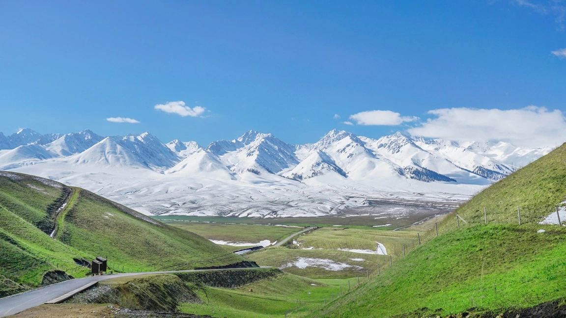
Karakul Lake sits at about 3,600 meters above sea level on the Pamir Plateau, roughly 200 km southwest of Kashgar along the Karakoram Highway. Its name means "Black Lake" in Kyrgyz, though the water shifts between deep blue, turquoise, and dark grey depending on the light and weather. The lake lies at the foot of Muztagh Ata (7,546 m), known as the "Father of Ice Mountains," whose snow-capped peak is reflected in the water on calm days. Kongur Tagh, the highest peak in the Pamirs, rises nearby as well. Kyrgyz herders live around the shore, and their yurts, yaks, and camels are part of the landscape.
What to see
Where it is
 Open in Amap
 Open in Google Maps
Where to park
The exact spot, the entrance and the address are in the Dragon Roads app during your trip. Every stop opens in Amap, ready to navigate.
Road trip to Karakul Lake
Karakul Lake is a stop on Southern Xinjiang Expedition, one of our Xinjiang road trips. Every route can be shortened, lengthened or started elsewhere.
Self-drive · 13 days · Kashgar loop
Southern Xinjiang Expedition
Day 5. Photograph Muztagh Ata reflected in Karakul Lake, walk the Stone City ruins, drive the 600 hairpin bends of Panlong Ancient Road, and drink tea in Kaneryang Village.
Nearby in Xinjiang
Nearest first. Distances in a straight line.