Destination · Xinjiang
Kaneryang Village
A Tajik village of folk songs on the Pamir Plateau, set in unspoiled land near Tashkurgan County.
- Where in China
- Xinjiang, 1,220 km south-west of Urumqi in a straight line
- Nearest town
- Tashkurgan County, 24 km west
- Entry
- Entrance is free
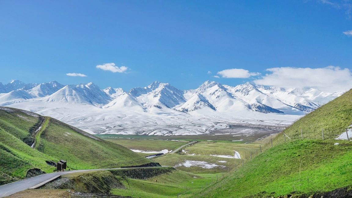
Kan'eryang Village (坎尔洋村) lies in Bandir Township, Tashkurgan Tajik Autonomous County, high on the Pamir Plateau in Xinjiang's Kashgar Prefecture. With a history of more than 400 years, it has kept its traditional Tajik culture largely intact. It is also known as a village of folk songs and is regarded as the birthplace of the famous melody "Why Are the Flowers So Red." The surrounding landscape is unspoiled.
What to see
Where it is
 Open in Amap
 Open in Google Maps
Where to park
The exact spot, the entrance and the address are in the Dragon Roads app during your trip. Every stop opens in Amap, ready to navigate.
Road trip to Kaneryang Village
Kaneryang Village is a stop on Southern Xinjiang Expedition, one of our Xinjiang road trips. Every route can be shortened, lengthened or started elsewhere.
Nearby in Xinjiang
Nearest first. Distances in a straight line.